
Where in the World is Alaska
Clocking in as the largest state in the United States—a whopping 586,412 square miles, equaling 15.4% of the total land area of the U.S.—Alaska spans from Amatignak Island in the south to Point Barrow in the north, from Attu Island in the west to Semisopochnoi Island in the east. Located in the extreme northwest of North America, Alaska is bordered by a number of seas and oceans, including the North Pacific Ocean, Bering Sea, Beaufort Sea, Chukchi Sea and the Arctic Ocean.
Diverse Topography
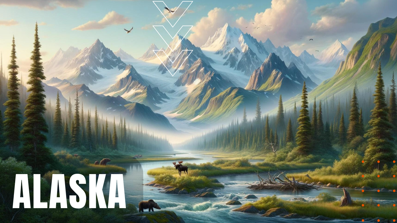
Consisting of an immense diversity of topographies, including rugged mountains, boreal forests, tundra, glacier fields and an expansive 33,904 mile coastline ripe with scenic beauty, Alaska shares a border on its eastern side with British Columbia and the Yukon Territory, minus any shared border with the contiguous United States. With a total population of 733,391 residents, according to the 2020 census, Alaska’s largest city by far is Anchorage, with a population in the greater Anchorage metropolitan area of 400,470 residents, followed by the Alaskan capital city of Juneau with a population of 32,255, followed by Fairbanks with a population of 31,516, where wintertime temperatures have been recorded as low as minus 66 degrees Fahrenheit, which is… cold by anyone’s standards. Home to numerous national parks and natural wonders, the tallest mountain in Alaska is Denali, with a height of 20,320 feet, while Alaska’s largest glacier is the Bering Glacier complex, which comprises 2,250 square miles of ice covering five percent of the state’s land mass.
Scenic Peninsulas
Besides the mainland of Alaska, the state is also made up of a number of peninsulas and archipelagos, including the Alaska Peninsula and the Aleutian Islands, which extends from the mainland of Alaska to the most northwestern part of the United States, the Seward Peninsula in western Alaska, the Kenai Peninsula in south/central Alaska and the Alexander Archipelago in far southeastern Alaska. With more than 3,000 rivers in the state—including 1,875 miles of the Yukon River’s total length of 2,298 miles, Alaska became an American possession following the Alaska Purchase of 1867, gaining statehood on January 3rd, 1959, making the state of Alaska, the last frontier of the American west.